



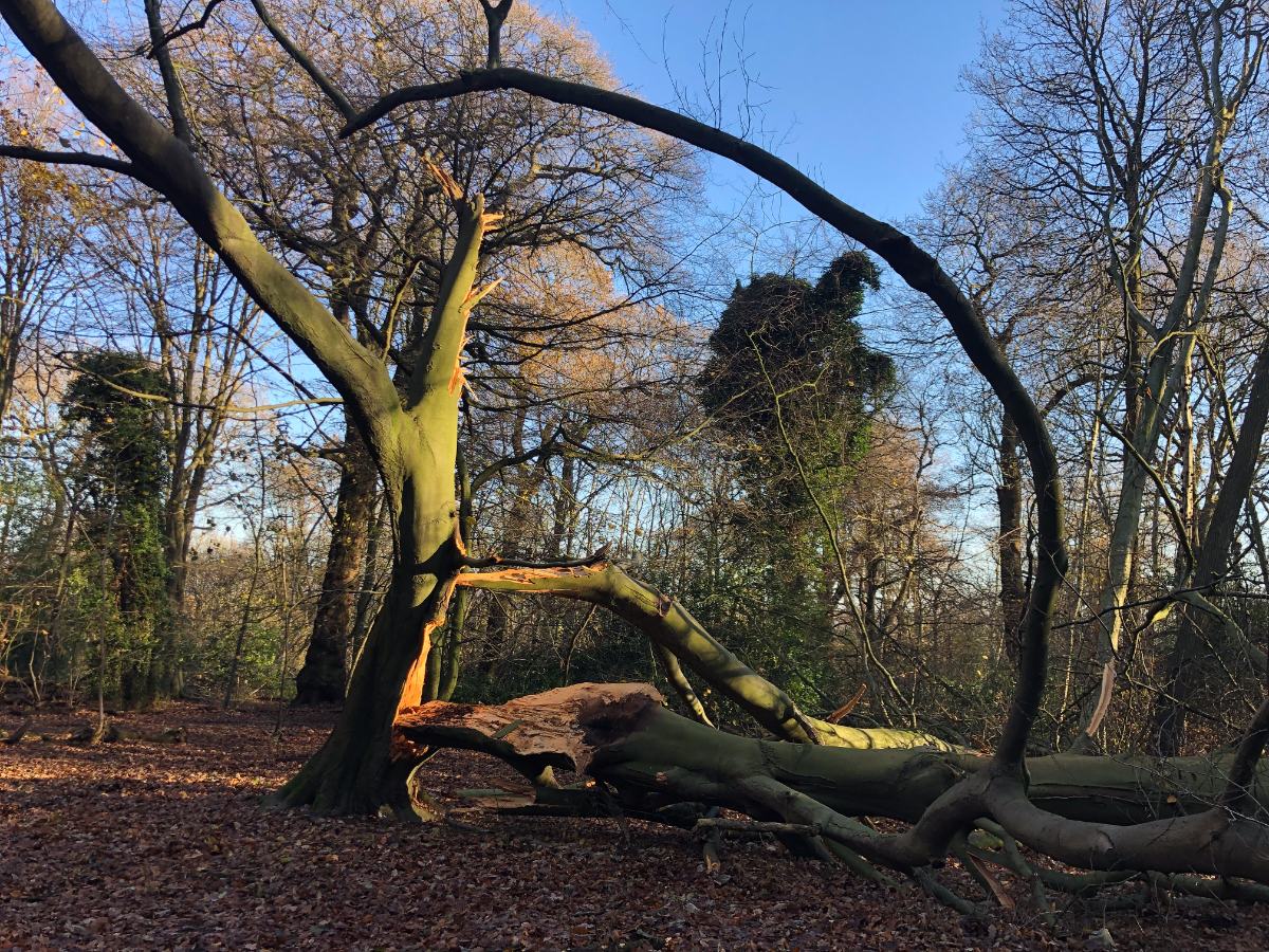




An independent arboricultural consultancy, deliberately small.
Rainfords Arboriculture is based in Rainford, St Helens, and has been trading for over a decade, with more than thirty years of arboricultural experience in the business. Surveys are carried out in house wherever possible, by qualified arboriculturists working to the same method, and every report is checked before it is issued.
Evidence first, opinion second.
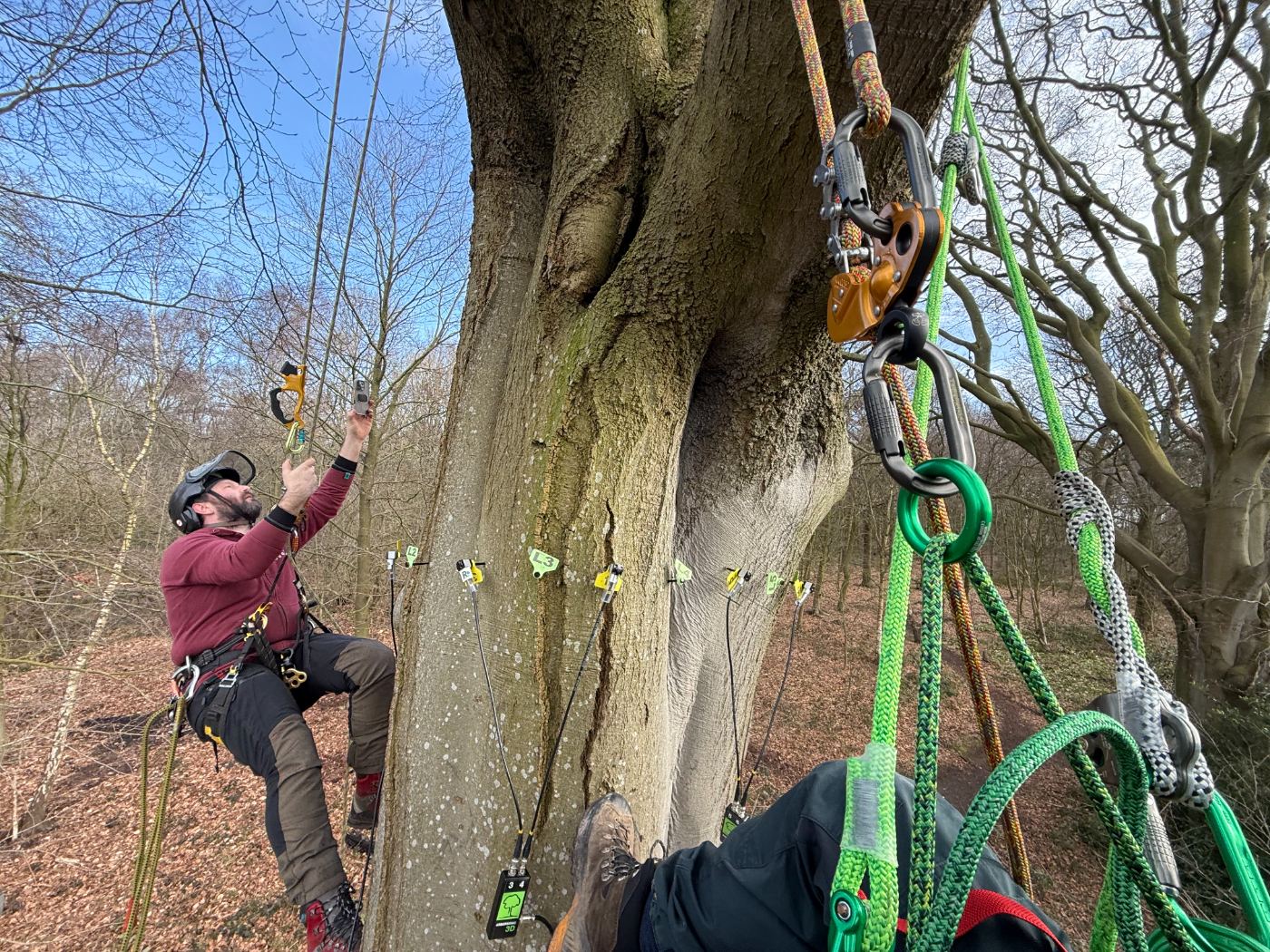
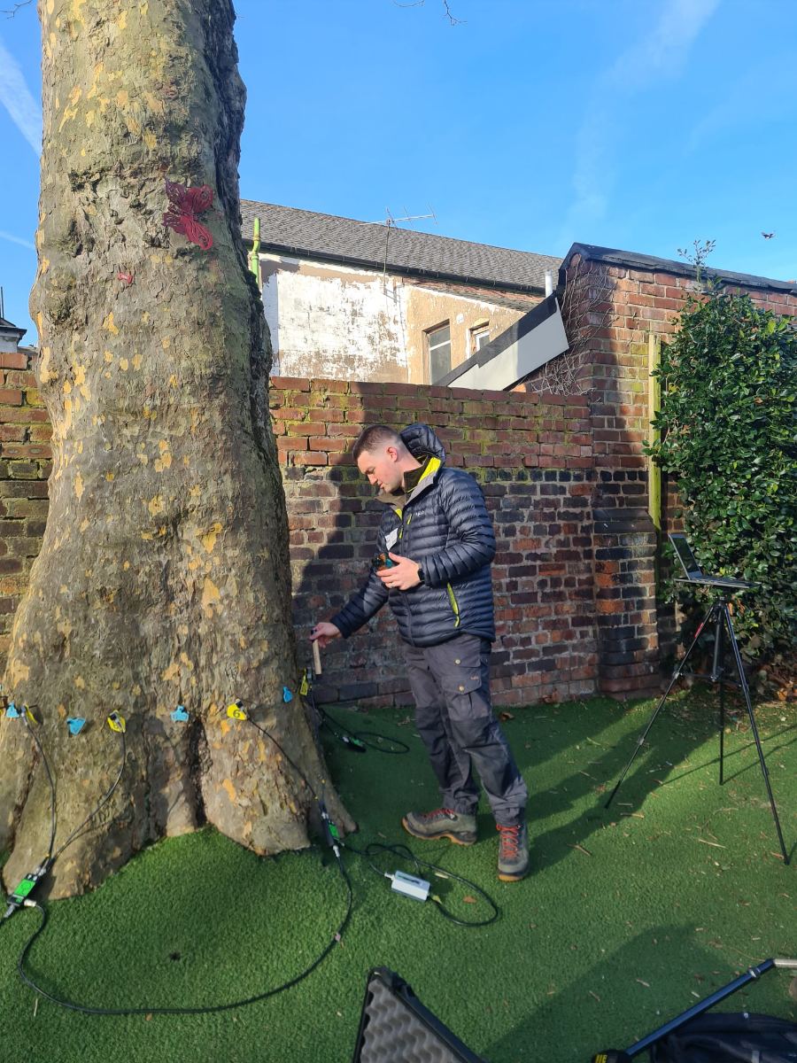
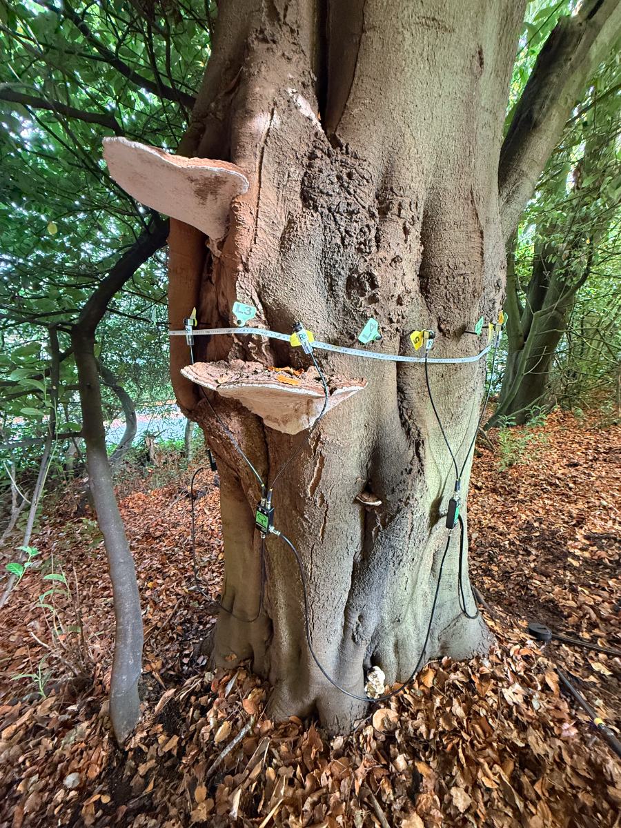
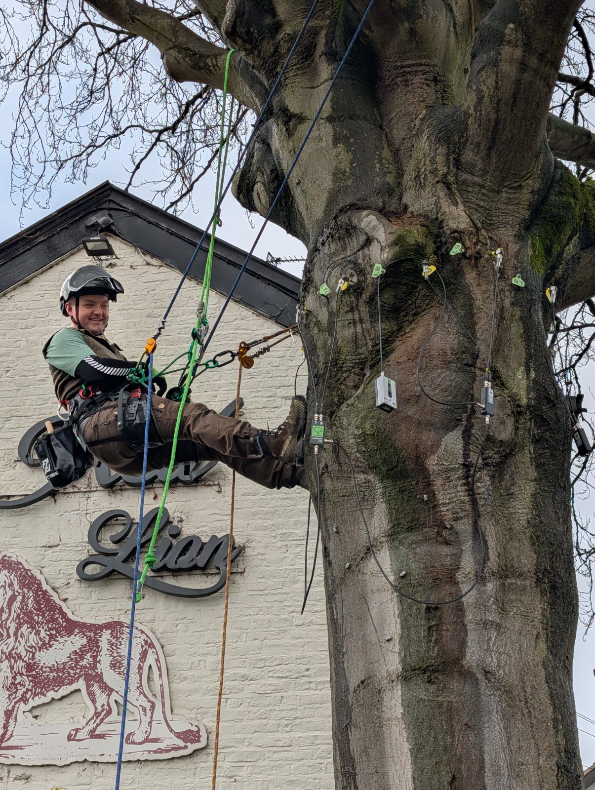
A great deal of tree work is commissioned on the strength of a hunch. We would rather measure. Where a visual assessment cannot resolve the question we escalate to instrumentation, using sonic tomography, resistograph drilling and aerial inspection, and let the data set the recommendation.
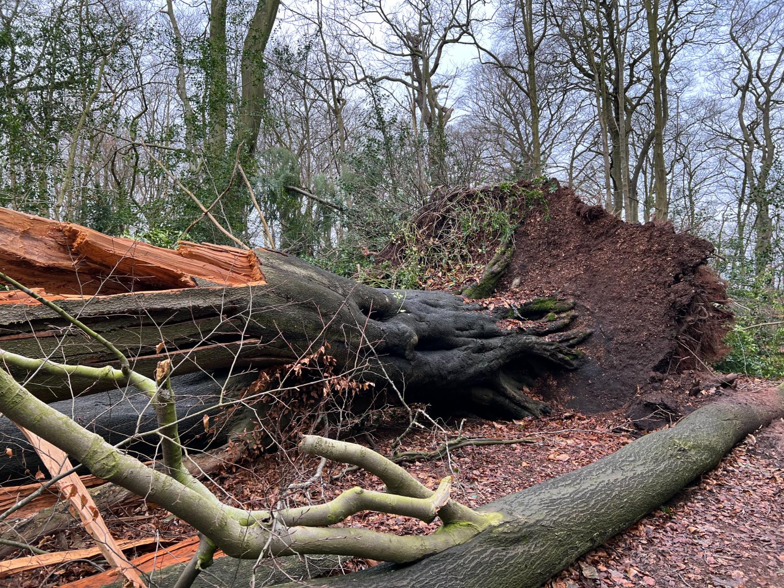
That approach cuts both ways. It has removed trees that looked sound, and it has retained a great many that a cautious eye would have felled. Both outcomes are defensible because both are written down with the measurements attached.
Reports are written to be read by people who are not arborists: planning officers, asset managers, governing bodies, and occasionally a court.
Where we have proved it.
Four kinds of instruction that shape how the practice works.
Large scale survey programmes
Multi site inventories run as a rolling programme rather than a one off, with consistent data capture so year two builds on year one instead of replacing it.
Substation and infrastructure estates
Operational sites with access constraints, permit regimes and vegetation clearance requirements alongside ordinary tree safety duties.
Regional housing stock
Dispersed trees across hundreds of addresses, surveyed into a structure that maps onto asset systems and planned maintenance programmes.
Aerial tomography in difficult positions
Evidence gathered where a ground based scan cannot reach, putting instruments on unions and upper stems so a retention decision rests on measurement.
Credentials
Standards and instrumentation
Insurance, compliance and supplier onboarding.
Everything a framework or procurement team normally asks for, in one place. Certificates and policy documents are issued on request.